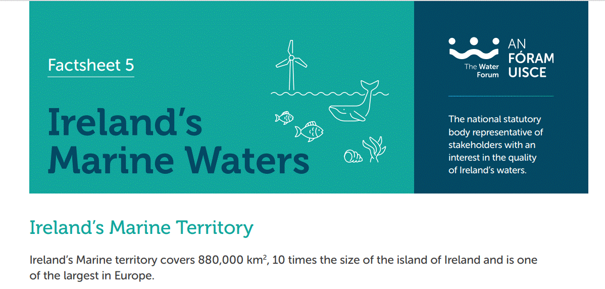
Ireland’s Marine territory covers 880,000 km2, 10 times the size of the island of Ireland and is one of the largest in Europe. The marine territory can be separated
into 3 distinct areas; the offshore marine area; the exclusive economic zone, which is up to 200 nautical miles off the coast; and the nearshore maritime area which is up to 12 nautical miles (NM) off the coast and includes the coastal and transitional
zone areas.
This whole marine area is important to Ireland and its citizens as it supports aquaculture, fisheries, shipping, tourism, recreation, and energy enterprises. In 2021, the economic value of the Irish ocean economy was €2.1 billion, with an overall turnover of approximately €6 billion.
Irelands Marine Planning Framework aims to provide guidance on the sustainable management of Ireland’s marine resources to balance ecological, economic and social objectives. The Maritime Area Planning Act 2021 provides a statutory basis for integrated marine planning under the Department of Housing, Local Government and Heritage.
In 2022, Ireland increased its maritime protected area from 2% to 8.3% with plans to reach 10% by the end of 2023. Ireland’s Marine Protected Areas Bill commits to protect 30% of our maritime area – that’s twice the size of our landmass – by 2030.